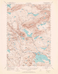
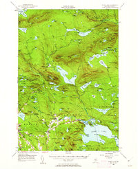
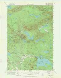
1950 Map of Sebec Lake
USGS Topo · Published 1967About this map
The slate quarrying industry and remote wilderness camps of central Maine are preserved in this mid-century record of the Monson and Willimantic area. The presence of the Monson Quarry and several sites like Hillside Quarry and Farm Quarry No 1 southeast of the town center indicate a landscape heavily defined by mineral extraction. For the local historian, the map identifies specific community landmarks such as the Sprague Sch, Monson Cem, and Riverside Cem.
Find a feature on this map
183 named features on this map. Tap any name to fly to it.
Don’t see what you’re looking for? This feature index may not catch every label — zoom into the map to look around manually.
Map Details
Editions of this 1950 Sebec Lake Map
7 editions found

Other maps of this area

1920 · Moosehead Lake
USGS Topo · 1:62,500

1922 · Moosehead Lake
USGS Topo · 1:62,500

1930 · Moosehead Lake
USGS Topo · 1:62,500

1932 · Dover-Foxcroft
USGS Topo · 1:48,000

1933 · Guilford
USGS Topo · 1:62,500

1935 · Dover-Foxcroft
USGS Topo · 1:62,500

1937 · Guilford
USGS Topo · 1:62,500

1940 · Sebec
USGS Topo · 1:48,000

1943 · Sebec
USGS Topo · 1:62,500

1944 · Moosehead Lake
USGS Topo · 1:62,500