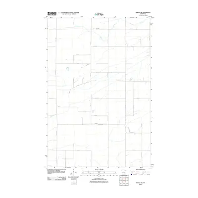
2010 Map of Sebeka SW
USGS Topo · Published 2010About this map
Hay Creek and Blue Creek define the drainage of this rural landscape in Otter Tail County, where a strict grid of section roads structures the agricultural territory. The map reveals the placement of two significant local burial sites: Hay Creek Cemetery in the north and Pioneer Cemetery further south along County Hwy-144. The presence of Wadena Line Rd along the eastern edge marks the political boundary of the county, separating it from its neighbor. This 2010 survey reflects a region primarily organized for farming, with transportation routes like County Hwy-19 and County Hwy-75 providing the primary connections between rural homesteads and larger regional hubs.
Find a feature on this map
35 named features on this map. Tap any name to fly to it.
Don’t see what you’re looking for? This feature index may not catch every label — zoom into the map to look around manually.
Map Details
Editions of this 2010 Sebeka SW Map
This is the sole edition of this map. No revisions or reprints were ever made.
Other maps of this area

1953 · Brainerd
USGS Topo · 1:250,000

1957 · Brainerd
USGS Topo · 1:250,000

1958 · Brainerd
USGS Topo · 1:250,000

1965 · Brainerd
USGS Topo · 1:250,000

1969 · Sebeka SW
USGS Topo · 1:24,000

1969 · Sebeka
USGS Topo · 1:24,000

1969 · Sebeka NW
USGS Topo · 1:24,000

1969 · Wadena
USGS Topo · 1:24,000
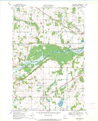
1969 · Deer Creek
USGS Topo · 1:24,000

1969 · Verndale
USGS Topo · 1:24,000