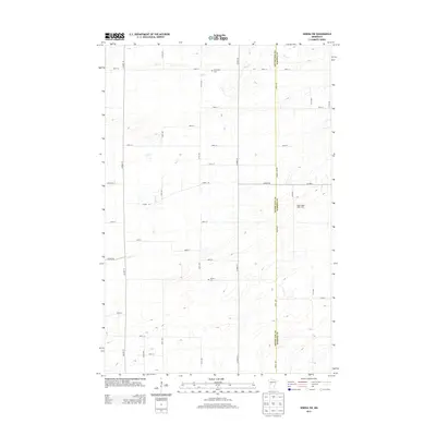
2013 Map of Sebeka SW
USGS Topo · Published 2013About this map
The county boundary between Otter Tail Co and Wadena Co defines the eastern portion of this rural Minnesota landscape, where the rectilinear road network overlays a terrain shaped by glacial drainage. Watercourses such as Hay Creek and Blue Creek meander through the central and northern sections, cutting across the grid of gravel and paved roads like County Highway 19 and Wadena Line Road. The map reveals a community structured around long-standing agricultural and family landmarks, including the Maple Ridge Stock Farm. Local history and genealogy are anchored by the presence of Hay Creek Cemetery in the north and Pioneer Cemetery further south, providing fixed points for tracing early settlement patterns in this quiet pocket of the state.
Find a feature on this map
37 named features on this map. Tap any name to fly to it.
Don’t see what you’re looking for? This feature index may not catch every label — zoom into the map to look around manually.
Map Details
Editions of this 2013 Sebeka SW Map
This is the sole edition of this map. No revisions or reprints were ever made.
Other maps of this area

1953 · Brainerd
USGS Topo · 1:250,000

1957 · Brainerd
USGS Topo · 1:250,000

1958 · Brainerd
USGS Topo · 1:250,000

1965 · Brainerd
USGS Topo · 1:250,000

1969 · Sebeka SW
USGS Topo · 1:24,000

1969 · Sebeka
USGS Topo · 1:24,000

1969 · Sebeka NW
USGS Topo · 1:24,000

1969 · Wadena
USGS Topo · 1:24,000
1969 · Deer Creek
USGS Topo · 1:24,000

1969 · Verndale
USGS Topo · 1:24,000