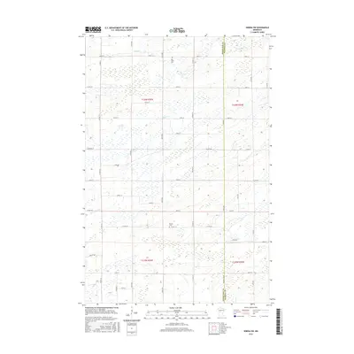
2016 Map of Sebeka SW
USGS Topo · Published 2016About this map
Otter Tail Co and Wadena Co meet along a grid of rural section lines in this central Minnesota landscape. The area is defined by its low-lying hydrology, where Hay Creek and Blue Creek meander through a series of wetlands and small basins. The human footprint is marked by a strict north-south and east-west road network, including thoroughfares like Co Hwy 19 and Co Hwy 75. Local history is anchored by the presence of Hay Creek Cem and Pioneer Cem, which serve as quiet landmarks for the early settlement families of this region. The map captures the transition between townships T135N and T136N, illustrating how the 19th-century Public Land Survey System continues to dictate the modern property and transportation patterns of the northern plains.
Find a feature on this map
39 named features on this map. Tap any name to fly to it.
Don’t see what you’re looking for? This feature index may not catch every label — zoom into the map to look around manually.
Map Details
Editions of this 2016 Sebeka SW Map
This is the sole edition of this map. No revisions or reprints were ever made.
Other maps of this area

1953 · Brainerd
USGS Topo · 1:250,000

1957 · Brainerd
USGS Topo · 1:250,000

1958 · Brainerd
USGS Topo · 1:250,000

1965 · Brainerd
USGS Topo · 1:250,000

1969 · Sebeka SW
USGS Topo · 1:24,000

1969 · Sebeka
USGS Topo · 1:24,000

1969 · Sebeka NW
USGS Topo · 1:24,000

1969 · Wadena
USGS Topo · 1:24,000
1969 · Deer Creek
USGS Topo · 1:24,000

1969 · Verndale
USGS Topo · 1:24,000