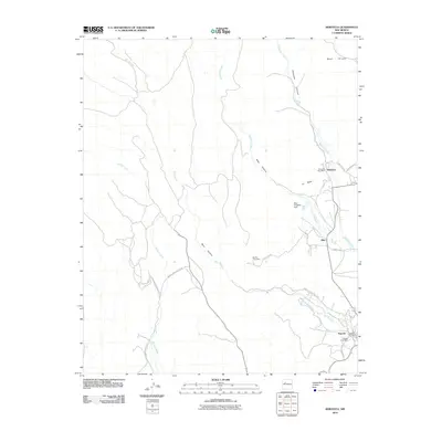
2010 Map of Seboyeta
USGS Topo · Published 2010About this map
Seboyeta and Paguate stand as primary residential hubs in this high-desert landscape of Cibola County, where the topography is defined by dramatic elevations like Mesa Chivato and La Mesa. The drainage patterns of Rio Paguate and Seboyeta Creek dictate the placement of local infrastructure, most notably the Bibo Irrigation Dam situated near the village of Bibo. This 2010 survey reflects a rural New Mexico community deeply connected to its land, with a network of transit routes including Indian Service Route 40 and the New La Joya Loop weaving through deep incisions like Seboyeta Canyon and Bibo Canyon. Genealogists and local historians can pinpoint vital community locations such as the Seboyeta Post Office and the Paguate Cemetery, which serve as significant landmarks for tracing family heritage within these traditional settlements.
Find a feature on this map
26 named features on this map. Tap any name to fly to it.
Don’t see what you’re looking for? This feature index may not catch every label — zoom into the map to look around manually.
Map Details
Editions of this 2010 Seboyeta Map
This is the sole edition of this map. No revisions or reprints were ever made.
Other maps of this area

1883 · Mt. Taylor
USGS Topo · 1:250,000

1886 · Mt. Taylor
USGS Topo · 1:250,000

1892 · Mt. Taylor
USGS Topo · 1:250,000

1899 · Mt. Taylor
USGS Topo · 1:250,000

1957 · Mount Taylor
USGS Topo · 1:24,000

1957 · Laguna
USGS Topo · 1:24,000

1957 · Moquino
USGS Topo · 1:24,000

1957 · Cubero
USGS Topo · 1:24,000

1957 · Seboyeta
USGS Topo · 1:24,000

1957 · Mesita
USGS Topo · 1:24,000