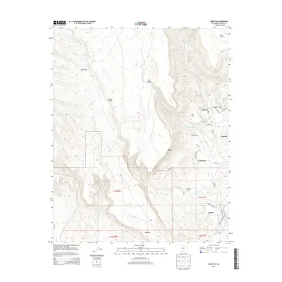
2013 Map of Seboyeta
USGS Topo · Published 2013About this map
Seboyeta and the surrounding villages in Cibola County appear here as established communities defined by their relationship to the high desert terrain and seasonal watercourses. The landscape is dominated by massive geological features like Mesa Chivato and La Mesa, which hem in the drainage basins of Seboyeta Cr and the Rio Paguate. These waterways have historically dictated the placement of settlements such as Moquino, Bibo, and Cebolletita. The network of local roads, including Alamo Ranch Rd and Old Paguate Rd, connects these residential areas and remote outposts like Rancho Chupadero. Genealogy researchers will find the Paguate Cem at the southern edge of the quadrangle, situated near the village of Paguate. The map reveals a transition between plateau summits and deep incisions like Bibo Canyon and Bear Canyon, showcasing the traditional spatial layout of New Mexican mountain-valley life.
Find a feature on this map
35 named features on this map. Tap any name to fly to it.
Don’t see what you’re looking for? This feature index may not catch every label — zoom into the map to look around manually.
Map Details
Editions of this 2013 Seboyeta Map
This is the sole edition of this map. No revisions or reprints were ever made.
Other maps of this area

1883 · Mt. Taylor
USGS Topo · 1:250,000

1886 · Mt. Taylor
USGS Topo · 1:250,000

1892 · Mt. Taylor
USGS Topo · 1:250,000

1899 · Mt. Taylor
USGS Topo · 1:250,000

1957 · Mount Taylor
USGS Topo · 1:24,000

1957 · Laguna
USGS Topo · 1:24,000

1957 · Moquino
USGS Topo · 1:24,000

1957 · Cubero
USGS Topo · 1:24,000

1957 · Seboyeta
USGS Topo · 1:24,000

1957 · Mesita
USGS Topo · 1:24,000