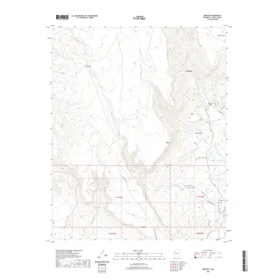
2020 Map of Seboyeta
USGS Topo · Published 2020About this map
Seboyeta and the surrounding high-desert landscape of Cibola County are detailed in this contemporary topographic record. The settlement pattern follows the drainage of the Rio Paguate and Seboyeta Cr, where the valley floors provide a contrast to the massive upland features of Mesa Chivato and La Mesa. Smaller communities like Bibo and Encinal are situated along these watercourses and local roads, reflecting the enduring rural character of this region.
Find a feature on this map
39 named features on this map. Tap any name to fly to it.
Don’t see what you’re looking for? This feature index may not catch every label — zoom into the map to look around manually.
Map Details
Editions of this 2020 Seboyeta Map
This is the sole edition of this map. No revisions or reprints were ever made.
Other maps of this area

1883 · Mt. Taylor
USGS Topo · 1:250,000

1886 · Mt. Taylor
USGS Topo · 1:250,000

1892 · Mt. Taylor
USGS Topo · 1:250,000

1899 · Mt. Taylor
USGS Topo · 1:250,000

1957 · Mount Taylor
USGS Topo · 1:24,000

1957 · Laguna
USGS Topo · 1:24,000

1957 · Moquino
USGS Topo · 1:24,000

1957 · Cubero
USGS Topo · 1:24,000

1957 · Seboyeta
USGS Topo · 1:24,000

1957 · Mesita
USGS Topo · 1:24,000