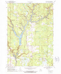
1969 Map of Secord Lake
USGS Topo · Published 1972About this map
Secord Lake and its intricate shoreline dominate this portion of Gladwin County, where the impounded Tittabawassee River creates a sprawling landscape of inlets and peninsulas. The settlement of Secord sits near the powerhouse and the Secord Dam Road, serving as a central point for the surrounding State Forest lands. The map captures a transition toward recreational development in the late 1960s, evidenced by the Secord Lake Campground and Wildwood Campground. Higher elevations near the Lookout Tower Bowmanville provide a contrast to the low-lying river valleys where the Middle Branch and East Branch converge. The presence of numerous sandpits throughout Clement and Butman townships suggests active local extraction industries alongside the growing timber and water-based leisure economy of the era.
Find a feature on this map
51 named features on this map. Tap any name to fly to it.
Don’t see what you’re looking for? This feature index may not catch every label — zoom into the map to look around manually.
Map Details
Editions of this 1969 Secord Lake Map
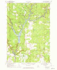
2 editions found
Other maps of this area

1954 · Traverse City
USGS Topo · 1:250,000

1954 · Midland
USGS Topo · 1:250,000

1958 · Traverse City
USGS Topo · 1:250,000

1958 · Midland
USGS Topo · 1:250,000

1959 · Midland
USGS Topo · 1:250,000

1966 · Midland
USGS Topo · 1:250,000

1968 · Sterling SW
USGS Topo · 1:24,000

1968 · Sterling NW
USGS Topo · 1:24,000

1969 · Edwards
USGS Topo · 1:24,000

1969 · Butman
USGS Topo · 1:24,000