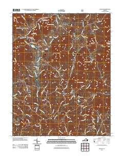
2011 Map of Sedalia
USGS Topo · Published 2011About this map
Sedalia sits at the northern edge of a landscape defined by the drainage systems of the Big Otter River and its numerous tributaries. Small settlements and historical landing points like Coltons Mill, Curtis, and Charlemont are connected by a network of winding roads such as Sedalia School Rd and Charlemont Rd. The presence of multiple family and church burial grounds, including the Old Ebenezer Cemetery, Turpin Cemetery, and Coffee Cemetery, highlights the deep-rooted local genealogy of this part of Bedford County.
Find a feature on this map
87 named features on this map. Tap any name to fly to it.
Don’t see what you’re looking for? This feature index may not catch every label — zoom into the map to look around manually.
Map Details
Editions of this 2011 Sedalia Map
This is the sole edition of this map. No revisions or reprints were ever made.
Other maps of this area

1890 · Roanoke
USGS Topo · 1:125,000

1891 · Roanoke
USGS Topo · 1:125,000

1892 · Lynchburg
USGS Topo · 1:125,000

1894 · Natural Bridge
USGS Topo · 1:125,000

1894 · Lexington
USGS Topo · 1:125,000

1894 · Natural Bridge
USGS Topo · 1:62,500

1907 · Natural Bridge Special
USGS Topo · 1:62,500

1935 · Buena Vista
USGS Topo · 1:48,000

1939 · Buena Vista
USGS Topo · 1:62,500

1940 · Buena Vista
USGS Topo · 1:62,500