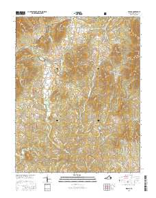
2016 Map of Sedalia
USGS Topo · Published 2016About this map
Jefferson National Forest dominates the northwest corner of this Piedmont landscape, where the Blue Ridge foothills transition into a terrain of prominent peaks and drainage basins. Historically significant rural communities like Sedalia, Charlemont, and Cifax are situated along the winding road network, interspersed with older landmarks like Coltons Mill. The area's genealogical record is preserved in several small burial grounds, including Old Ebenezer Cem near Curtis and the Saint Thomas Cem further south.
Find a feature on this map
96 named features on this map. Tap any name to fly to it.
Don’t see what you’re looking for? This feature index may not catch every label — zoom into the map to look around manually.
Map Details
Editions of this 2016 Sedalia Map
This is the sole edition of this map. No revisions or reprints were ever made.
Other maps of this area

1890 · Roanoke
USGS Topo · 1:125,000

1891 · Roanoke
USGS Topo · 1:125,000

1892 · Lynchburg
USGS Topo · 1:125,000

1894 · Natural Bridge
USGS Topo · 1:125,000

1894 · Lexington
USGS Topo · 1:125,000

1894 · Natural Bridge
USGS Topo · 1:62,500

1907 · Natural Bridge Special
USGS Topo · 1:62,500

1935 · Buena Vista
USGS Topo · 1:48,000

1939 · Buena Vista
USGS Topo · 1:62,500

1940 · Buena Vista
USGS Topo · 1:62,500