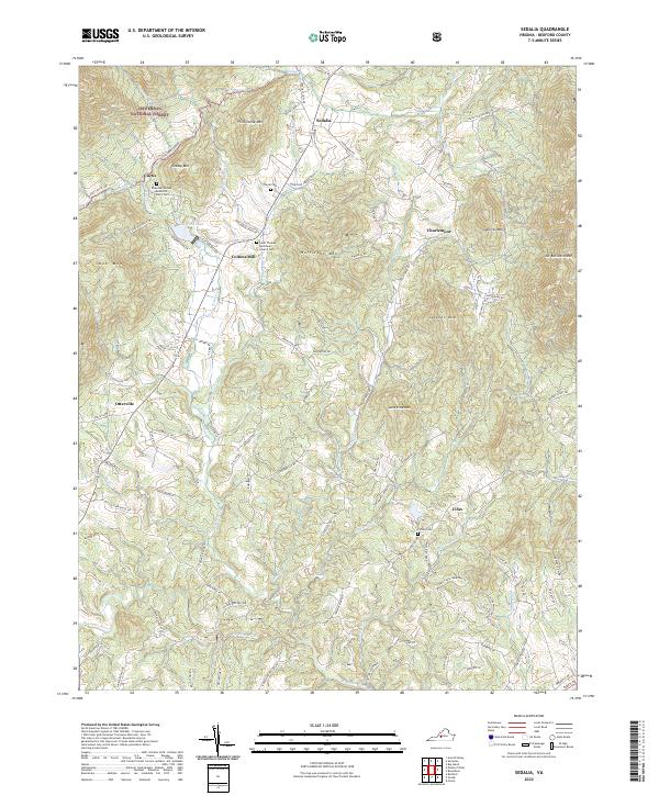
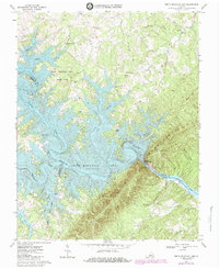
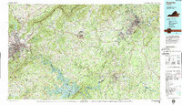
2022 Map of Sedalia
USGS Topo · Published 2022About this map
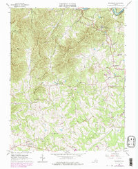
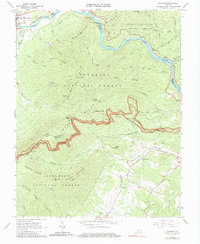
Sedalia sits at the northern end of this map, positioned between the forested heights of the Jefferson National Forest and the agricultural valleys of Bedford County. The terrain is defined by a series of prominent peaks, including Flint Stone Mtn, Hurricane Mtn, and No Business Mtn, which frame a network of creeks and runs. Settlements like Coltons Mill and Otterville are linked by a historical road network that follows the local topography, such as Hurricane Creek Rd and Otterville Rd.
Find a feature on this map
99 named features on this map. Tap any name to fly to it.
Don’t see what you’re looking for? This feature index may not catch every label — zoom into the map to look around manually.
Map Details
Editions of this 2022 Sedalia Map
This is the sole edition of this map. No revisions or reprints were ever made.
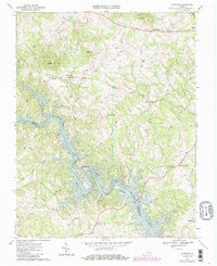
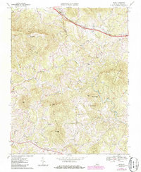
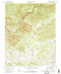
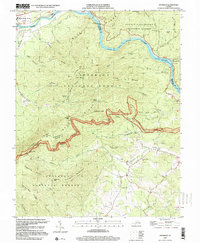
Historical Maps of Cifax Through Time
27 maps found
1950 Goode
Bedford County, VA
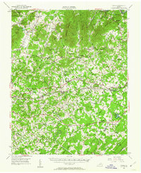
1950 Peaks of Otter
Bedford County, VA
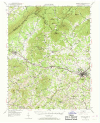
1963 Lynchburg
Bedford County, VA
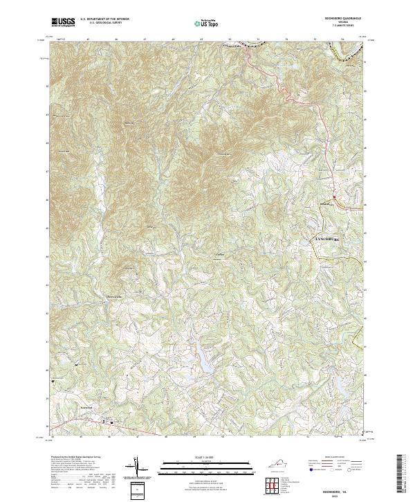
1965 Boonsboro
Bedford County, VA
1965 Goode
Bedford County, VA
1965 Sedalia
Bedford County, VA
1966 Huddleston
Bedford County, VA
1966 Snowden
Bedford County, VA
1967 Goodview
Bedford County, VA
1967 Irving
Bedford County, VA
1967 Peaks Of Otter
Bedford County, VA
1967 Smith Mountain Dam
Bedford County, VA
1977 Lynchburg
Bedford County, VA
1977 Peaks of Otter
Bedford County, VA
1977 Smith Mountain Dam
Bedford County, VA
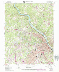
1985 Roanoke
Bedford County, VA
1999 Snowden
Bedford County, VA
2022 Boonsboro
Bedford County, VA
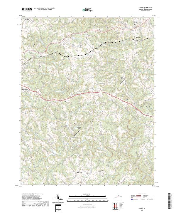
2022 Goode
Bedford County, VA
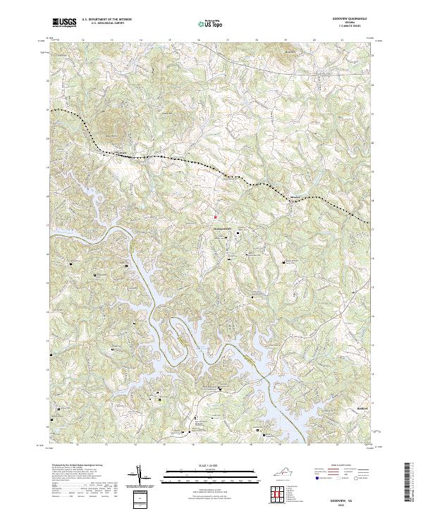
2022 Goodview
Bedford County, VA
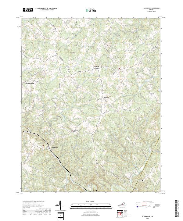
2022 Huddleston
Bedford County, VA
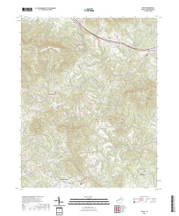
2022 Irving
Bedford County, VA
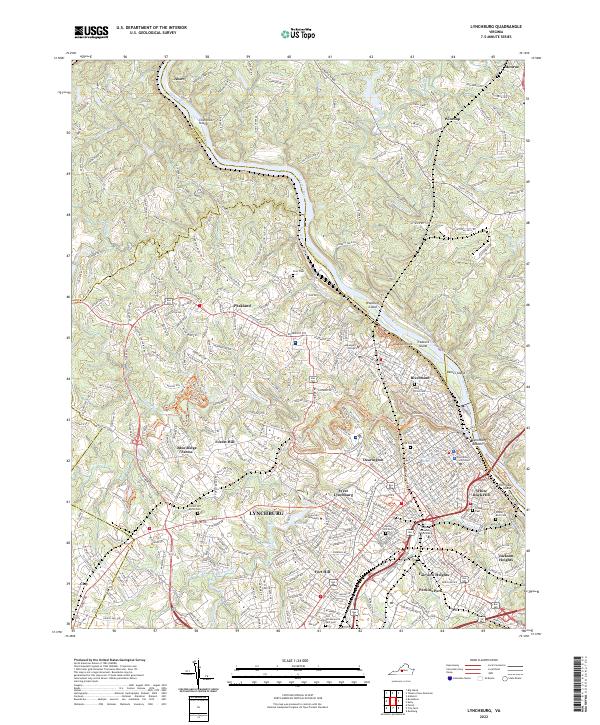
2022 Lynchburg
Bedford County, VA
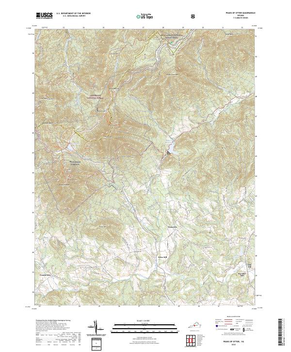
2022 Peaks of Otter
Bedford County, VA
2022 Sedalia
Bedford County, VA
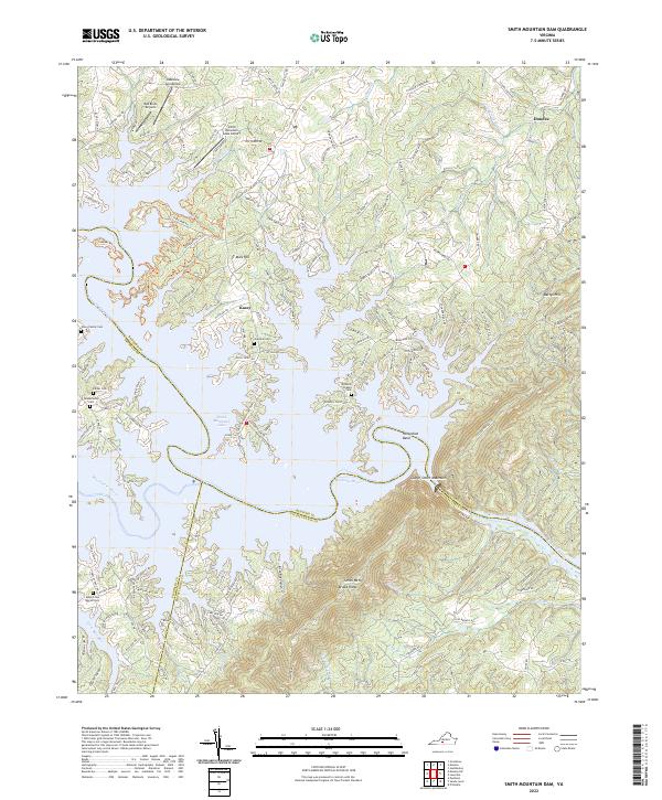
2022 Smith Mountain Dam
Bedford County, VA
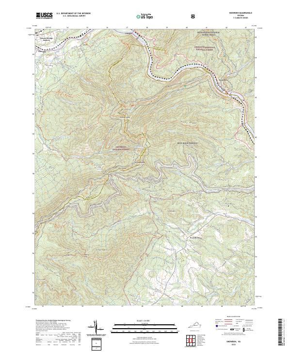
2022 Snowden
Bedford County, VA