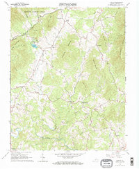
1965 Map of Sedalia
USGS Topo · Published 1968About this map
No Business Mountain and Hurricane Mountain dominate this mid-century view of the Blue Ridge foothills, where the landscape transitions from the protected timber of the Jefferson National Forest to the small rural communities of Bedford County. The drainage network is particularly dense here, defined by the Big Otter River and its major tributaries like North Otter Creek and Hurricane Creek. This water system once supported industry like Coltons Mill and recreational spots including Bedford Lake.
Find a feature on this map
45 named features on this map. Tap any name to fly to it.
Don’t see what you’re looking for? This feature index may not catch every label — zoom into the map to look around manually.
Map Details
Editions of this 1965 Sedalia Map
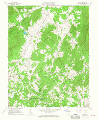
2 editions found
Other maps of this area

1890 · Roanoke
USGS Topo · 1:125,000

1891 · Roanoke
USGS Topo · 1:125,000

1892 · Lynchburg
USGS Topo · 1:125,000

1894 · Natural Bridge
USGS Topo · 1:125,000

1894 · Lexington
USGS Topo · 1:125,000

1894 · Natural Bridge
USGS Topo · 1:62,500

1907 · Natural Bridge Special
USGS Topo · 1:62,500

1935 · Buena Vista
USGS Topo · 1:48,000

1939 · Buena Vista
USGS Topo · 1:62,500

1940 · Buena Vista
USGS Topo · 1:62,500