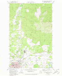
1981 Map of Sedro-Woolley North
USGS Topo · Published 1981About this map
Sedro-Woolley sits at the base of the massive Lyman Hill during the early 1980s, serving as a hub where the Skagit Valley floor meets the rising Cascade foothills. The area is defined by a diverse institutional and industrial landscape, most notably the large campus of the Northern State Hospital and the nearby Union Cemetery. Transportation and industry are central to the region's character, with the Burlington Northern railroad cutting across the valley floor past the local Rodeo Grounds and Golf Course. The rural outskirts are dotted with small settlements like Thornwood and essential community landmarks including Samish Sch and Evergreen Church. Resource extraction is evident through the Cokedale Mine and numerous gravel and borrow pits, while the Skagit River and its complex of sloughs, such as Skiyou Slough, dominate the southern reaches of the quadrangle.
Find a feature on this map
63 named features on this map. Tap any name to fly to it.
Don’t see what you’re looking for? This feature index may not catch every label — zoom into the map to look around manually.
Map Details
Editions of this 1981 Sedro-Woolley North Map
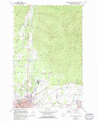
2 editions found
Other maps of this area

1911 · Mount Vernon
USGS Topo · 1:125,000

1918 · Samish Lake
USGS Topo · 1:62,500

1921 · Wickersham
USGS Topo · 1:62,500

1940 · Mt Vernon
USGS Topo · 1:62,500

1943 · Mt Vernon
USGS Topo · 1:62,500

1944 · Clear Lake
USGS Topo · 1:62,500

1951 · Wickersham
USGS Topo · 1:62,500

1952 · Lake Whatcom
USGS Topo · 1:24,000

1952 · Alger
USGS Topo · 1:24,000

1954 · Samish Lake
USGS Topo · 1:62,500