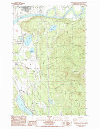
1985 Map of Sedro-Woolley South
USGS Topo · Published 1985About this map
The Skagit River meanders through the northern portion of this quadrangle, shaping the broad Skagit Valley where Skiyou Island and Ross Island break the water's flow. Along its banks, the industrial and residential outskirts of Sedro-Woolley represent the regional hub of the mid-1980s. To the south, the landscape transitions from the river's floodplain into the timbered slopes of the Cultus Mountains, dominated by the summit of Cultus Mtn. This area is characterized by its vital water systems and lakeside settlements, including the communities surrounding Big Lake and Clear Lake. The presence of several utility corridors, such as a Double Wood Pole Line and Pipe Line, indicates the infrastructure supporting these foothill towns. Local industry is visible in the form of a Quarry and Gravel Pit, while the Judy Reservoir sits tucked within the higher elevations east of the main valley settlements.
Find a feature on this map
39 named features on this map. Tap any name to fly to it.
Don’t see what you’re looking for? This feature index may not catch every label — zoom into the map to look around manually.
Map Details
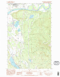
Editions of this 1985 Sedro-Woolley South Map
2 editions found
Other maps of this area

1911 · Mount Vernon
USGS Topo · 1:125,000

1918 · Samish Lake
USGS Topo · 1:62,500

1921 · Wickersham
USGS Topo · 1:62,500

1940 · Mt Vernon
USGS Topo · 1:62,500

1943 · Mt Vernon
USGS Topo · 1:62,500

1944 · Clear Lake
USGS Topo · 1:62,500

1951 · Wickersham
USGS Topo · 1:62,500

1952 · Alger
USGS Topo · 1:24,000

1954 · Samish Lake
USGS Topo · 1:62,500
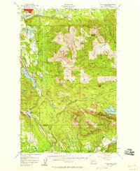
1956 · Clear Lake
USGS Topo · 1:62,500