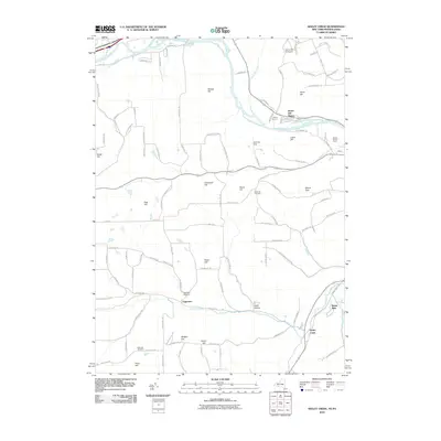
2010 Map of Seeley Creek
USGS Topo · Published 2010About this map
Harris Hill Manor and the surrounding Chemung County countryside are documented here at the beginning of the twenty-first century, showing a mix of suburban development and established rural landscape. The northern edge of the map follows the winding course of the Chemung River, while the southern reaches transition into a series of prominent rises including Mount Zoar and Widger Hill. This area is defined by its deep aviation and recreation history, anchored by the Harris Hill Gliderport and nearby Connelly Field.
Find a feature on this map
106 named features on this map. Tap any name to fly to it.
Don’t see what you’re looking for? This feature index may not catch every label — zoom into the map to look around manually.
Map Details
Editions of this 2010 Seeley Creek Map
This is the sole edition of this map. No revisions or reprints were ever made.
Other maps of this area

1895 · Elmira
USGS Topo · 1:62,500

1900 · Tioga
USGS Topo · 1:62,500

1902 · Tioga
USGS Topo · 1:62,500

1905 · Watkins Glen
USGS Topo · 1:125,000

1914 · Corning
USGS Topo · 1:62,500

1931 · Troy
USGS Topo · 1:48,000

1938 · Troy
USGS Topo · 1:62,500

1944 · Corning
USGS Topo · 1:62,500

1950 · Elmira
USGS Topo · 1:250,000
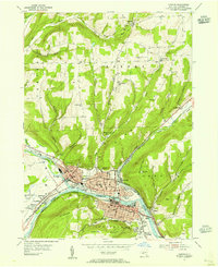
1953 · Corning
USGS Topo · 1:24,000