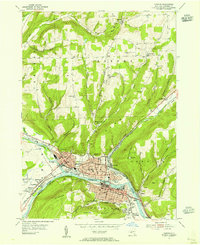
1953 Map of Corning
USGS Topo · Published 1955About this map
The Chemung River valley serves as the industrial and transportation nexus for this region, where the Cohocton River and Tioga River converge to form a major waterway. This mid-century landscape is defined by its dense rail infrastructure, including the Erie RR and the Delaware Lackawanna and Western RR, which spurred the growth of Corning and Painted Post. Beyond the urban centers, the map documents a network of rural school districts such as District No 8 Sch and District No 10 Sch, reflecting the late-stage decentralized education system before widespread consolidation. High ground like Denmark Hill and Spencer Hill overlooks a mix of civic landmarks, from the County Courthouse to the White Oaks Girl Scout Camping Area, illustrating the social and administrative character of Steuben County during the early 1950s.
Find a feature on this map
60 named features on this map. Tap any name to fly to it.
Don’t see what you’re looking for? This feature index may not catch every label — zoom into the map to look around manually.
Map Details
Editions of this 1953 Corning Map
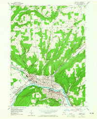
2 editions found
Other maps of this area

1895 · Elmira
USGS Topo · 1:62,500

1898 · Watkins Glen
USGS Topo · 1:62,500

1901 · Watkins
USGS Topo · 1:62,500

1903 · Hammondsport
USGS Topo · 1:62,500

1905 · Watkins Glen
USGS Topo · 1:125,000

1914 · Corning
USGS Topo · 1:62,500

1944 · Corning
USGS Topo · 1:62,500

1950 · Elmira
USGS Topo · 1:250,000

1953 · Campbell
USGS Topo · 1:24,000

1953 · Bradford
USGS Topo · 1:24,000