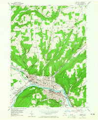
1953 Map of Corning
USGS Topo · Published 1965About this map
The Chemung River valley serves as the industrial and transit hub of this southern New York region, where the Tioga River and Cohocton River converge. At the center of this 1953 field-checked survey lies the city of Corning, showing a dense urban grid and civic landmarks like the County Courthouse, Memorial Stadium, and Sch No 8. The map documents the intricate rail infrastructure that powered the area's growth, with the Erie RR and Lackawanna and Western RR skirting the riverbanks and industrial sites like the Sewage Disposal plant. Surrounding the urban core, smaller communities such as Painted Post, Riverside, and South Corning are shown alongside steep terrain like Higman Hill and Spencer Hill. Local history and genealogy interest is high in the rural townships of Hornby and Campbell, which are dotted with numbered schoolhouses like District No 10 Sch and quiet burial grounds including Goodsell Cem and West Hill Cem.
Find a feature on this map
62 named features on this map. Tap any name to fly to it.
Don’t see what you’re looking for? This feature index may not catch every label — zoom into the map to look around manually.
Map Details
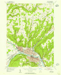
Editions of this 1953 Corning Map
2 editions found
Other maps of this area

1895 · Elmira
USGS Topo · 1:62,500

1898 · Watkins Glen
USGS Topo · 1:62,500

1901 · Watkins
USGS Topo · 1:62,500

1903 · Hammondsport
USGS Topo · 1:62,500

1905 · Watkins Glen
USGS Topo · 1:125,000

1914 · Corning
USGS Topo · 1:62,500

1944 · Corning
USGS Topo · 1:62,500

1950 · Elmira
USGS Topo · 1:250,000

1953 · Campbell
USGS Topo · 1:24,000

1953 · Bradford
USGS Topo · 1:24,000