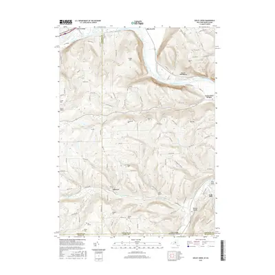
2016 Map of Seeley Creek
USGS Topo · Published 2016About this map
The Chemung River winds through the northern portion of this landscape, separating East Corning from the elevated terrain of Steege Hill. This survey highlights a region of high ridges and narrow valleys along the New York and Pennsylvania border, where small settlements like Webb Mills and Sagetown are situated along tributary waters such as Mudlick Creek and Seeley Creek.
Find a feature on this map
100 named features on this map. Tap any name to fly to it.
Don’t see what you’re looking for? This feature index may not catch every label — zoom into the map to look around manually.
Map Details
Editions of this 2016 Seeley Creek Map
This is the sole edition of this map. No revisions or reprints were ever made.
Other maps of this area

1895 · Elmira
USGS Topo · 1:62,500

1900 · Tioga
USGS Topo · 1:62,500

1902 · Tioga
USGS Topo · 1:62,500

1905 · Watkins Glen
USGS Topo · 1:125,000

1914 · Corning
USGS Topo · 1:62,500

1931 · Troy
USGS Topo · 1:48,000

1938 · Troy
USGS Topo · 1:62,500

1944 · Corning
USGS Topo · 1:62,500

1950 · Elmira
USGS Topo · 1:250,000
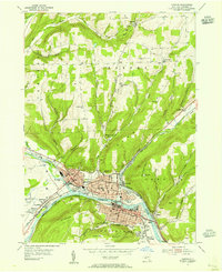
1953 · Corning
USGS Topo · 1:24,000