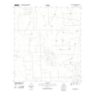
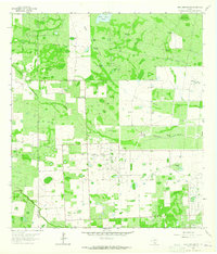
2010 Map of Seeligson Ranch
USGS Topo · Published 2010About this map
Salado Creek and Jaboncillos Creek drain the arid brushlands of Jim Wells County, where the 2010 landscape is defined by a dense network of ranch roads and energy infrastructure. The legacy of large-scale cattle operations is evident through established family holdings like Seeligson Ranch and Los Jaboncillos Ranch. Water management is the primary driver of development here, represented by numerous livestock watering points such as Government Tank and the Llano Ancho Tank, alongside a dozen named landmarks like the La Patrona Windmill and Agua Fria Windmill.
Find a feature on this map
40 named features on this map. Tap any name to fly to it.
Don’t see what you’re looking for? This feature index may not catch every label — zoom into the map to look around manually.
Map Details
Editions of this 2010 Seeligson Ranch Map
This is the sole edition of this map. No revisions or reprints were ever made.
Other maps of this area

1917 · Ben Bolt
USGS Topo · 1:62,500

1921 · Falfurrias
USGS Topo · 1:125,000

1956 · Benavides
USGS Topo · 1:62,500

1956 · Laredo
USGS Topo · 1:250,000

1963 · Ben Bolt SE
USGS Topo · 1:24,000

1963 · Premont West
USGS Topo · 1:24,000
1963 · Premont East
USGS Topo · 1:24,000
1963 · Palito Blanco
USGS Topo · 1:24,000
1963 · Ella
USGS Topo · 1:24,000
1963 · Seeligson Ranch
USGS Topo · 1:24,000