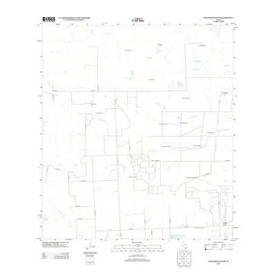
2013 Map of Seeligson Ranch
USGS Topo · Published 2013About this map
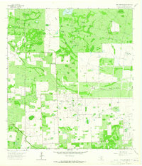
Seeligson Ranch and Los Jaboncillos Ranch anchor this South Texas landscape, where the traditional cattle ranching economy integrates with the energy industry of the early 21st century. The map reveals an extensive network of petroleum extraction sites, including the Premont Oil Field, East Premont Oil Field, and Seeligson Oil Field. These industrial operations are set against a background of intermittent watercourses like Salado Cr and Jaboncillos Cr, which feed into various livestock watering points such as Government Tank and Llano Ancho Tank.
Find a feature on this map
44 named features on this map. Tap any name to fly to it.
Don’t see what you’re looking for? This feature index may not catch every label — zoom into the map to look around manually.
Map Details
Editions of this 2013 Seeligson Ranch Map
This is the sole edition of this map. No revisions or reprints were ever made.
Other maps of this area

1917 · Ben Bolt
USGS Topo · 1:62,500

1921 · Falfurrias
USGS Topo · 1:125,000

1956 · Benavides
USGS Topo · 1:62,500

1956 · Laredo
USGS Topo · 1:250,000

1963 · Ben Bolt SE
USGS Topo · 1:24,000

1963 · Premont West
USGS Topo · 1:24,000
1963 · Premont East
USGS Topo · 1:24,000
1963 · Palito Blanco
USGS Topo · 1:24,000
1963 · Ella
USGS Topo · 1:24,000
1963 · Seeligson Ranch
USGS Topo · 1:24,000