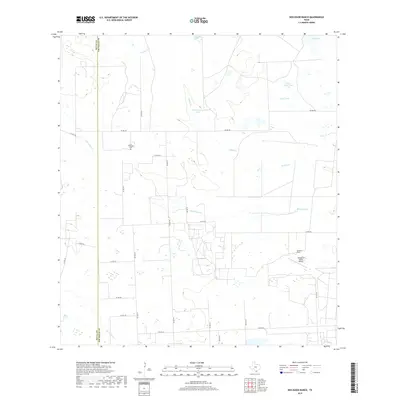
2019 Map of Seeligson Ranch
USGS Topo · Published 2019About this map
Las Piedritas Cem sits as a quiet landmark in the northwestern section of this landscape, just east of the Duval and Jim Wells county line. This portion of South Texas is defined by a ranching economy and a complex system of intermittent water management, illustrated by features like Government Tank, Llano Ancho Tank, and the seasonally wet Wild Steer Swale. The private infrastructure of the Seeligson Ranch dominates the southeastern quadrant, complete with its own Seeligson Ranch Airport. Drainage for the region is provided by the meandering paths of Jaboncillos Cr and Salado Cr, which cross a network of rural county roads. These transit routes, including Co RD 433 and Co RD 432, connect the scattered agricultural operations and water features that sustain life in this semi-arid environment.
Find a feature on this map
29 named features on this map. Tap any name to fly to it.
Don’t see what you’re looking for? This feature index may not catch every label — zoom into the map to look around manually.
Map Details
Editions of this 2019 Seeligson Ranch Map
This is the sole edition of this map. No revisions or reprints were ever made.
Other maps of this area

1917 · Ben Bolt
USGS Topo · 1:62,500

1921 · Falfurrias
USGS Topo · 1:125,000

1956 · Benavides
USGS Topo · 1:62,500

1956 · Laredo
USGS Topo · 1:250,000

1963 · Ben Bolt SE
USGS Topo · 1:24,000

1963 · Premont West
USGS Topo · 1:24,000
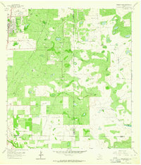
1963 · Premont East
USGS Topo · 1:24,000
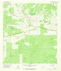
1963 · Palito Blanco
USGS Topo · 1:24,000
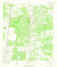
1963 · Ella
USGS Topo · 1:24,000
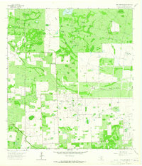
1963 · Seeligson Ranch
USGS Topo · 1:24,000