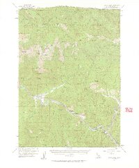
1955 Map of Seiad Valley
USGS Topo · Published 1962About this map
The Klamath River carves a deep valley through Northern California in this mid-century survey, defining the industrial and recreational character of the region. Significant mining activity is visible at the Blue Ledge Mine and Ladd Mine, while the presence of Dredge Tailings near Seiad Valley reveals the physical impact of riverbed mineral extraction. Small riverside settlements like Hamburg, Steelhead, and Horse Creek serve as the primary hubs for those navigating the mountains.
Find a feature on this map
84 named features on this map. Tap any name to fly to it.
Don’t see what you’re looking for? This feature index may not catch every label — zoom into the map to look around manually.
Map Details
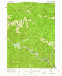
Editions of this 1955 Seiad Valley Map
3 editions found

Other maps of this area

1886 · Shasta
USGS Topo · 1:250,000

1891 · Ashland
USGS Topo · 1:250,000

1893 · Ashland
USGS Topo · 1:250,000

1894 · Shasta
USGS Topo · 1:250,000

1897 · Ashland
USGS Topo · 1:250,000

1908 · Grants Pass
USGS Topo · 1:125,000

1914 · Seiad
USGS Topo · 1:125,000

1922 · Seiad
USGS Topo · 1:125,000

1932 · Yreka
USGS Topo · 1:96,000

1938 · Medford
USGS Topo · 1:125,000