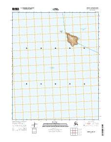
2014 Map of Selawik A-6 NW
USGS Topo · Published 2014About this map
Chamisso Island stands as the central landmark in this 2014 survey of the waters where Kotzebue Sound meets Eschscholtz Bay. This maritime landscape is defined by the protected waters of Chamisso Anchorage, located just north of the island's shores. Nearby, the smaller Puffin Island marks a significant point in the bay, surrounded by the open expanse of the Sound. The map provides a clear look at the bathymetry and shoreline configuration of this Arctic region, which is historically significant as a navigation point for explorers and local hunters. The sparse terrestrial features emphasize the isolation of these islands within the larger estuarine system of Northwest Alaska.
Find a feature on this map
9 named features on this map. Tap any name to fly to it.
Don’t see what you’re looking for? This feature index may not catch every label — zoom into the map to look around manually.
Map Details
Editions of this 2014 Selawik A-6 NW Map
This is the sole edition of this map. No revisions or reprints were ever made.
Other maps of this area

1950 · Kotzebue A-1
USGS Topo · 1:63,360

1951 · Selawik
USGS Topo · 1:250,000

1951 · Kotzebue
USGS Topo · 1:250,000

1951 · Selawik B-6
USGS Topo · 1:63,360

1951 · Selawik A-6
USGS Topo · 1:63,360

1957 · Selawik
USGS Topo · 1:250,000

1958 · Kotzebue
USGS Topo · 1:250,000

1964 · Kotzebue
USGS Topo · 1:250,000
2014 · Selawik A-6 SE
USGS Topo · 1:25,000
2014 · Selawik B-6 SE
USGS Topo · 1:25,000