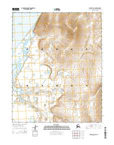
2014 Map of Selawik A-6 SE
USGS Topo · Published 2014About this map
Kotzebue Sound defines the western edge of this coastal landscape, where the tides of the Arctic meet a complex network of low-lying wetlands. The interior terrain is characterized by the winding path of Duck Slough and the drainage of Duck Cr, which thread through an area marked by significant elevation changes further inland. This 2014 survey by the U.S. Geological Survey illustrates the transition from the marine environment of the sound to the upland ridges of the Selawik region. The drainage patterns of the coastal plain suggest a dynamic hydrological environment, providing a detailed record of the shoreline and natural watercourses before modern shifts in the Arctic ecosystem. The map serves as a primary source for understanding the physical geography of the Northwest Arctic Borough in the early 21st century.
Find a feature on this map
7 named features on this map. Tap any name to fly to it.
Don’t see what you’re looking for? This feature index may not catch every label — zoom into the map to look around manually.
Map Details
Editions of this 2014 Selawik A-6 SE Map
This is the sole edition of this map. No revisions or reprints were ever made.
Other maps of this area

1951 · Candle
USGS Topo · 1:250,000

1951 · Selawik
USGS Topo · 1:250,000

1951 · Candle D-5
USGS Topo · 1:63,360

1951 · Selawik A-5
USGS Topo · 1:63,360

1951 · Candle D-6
USGS Topo · 1:63,360

1951 · Selawik A-6
USGS Topo · 1:63,360

1955 · Candle
USGS Topo · 1:250,000

1957 · Selawik
USGS Topo · 1:250,000

1964 · Candle
USGS Topo · 1:250,000
2014 · Selawik A-5 SW
USGS Topo · 1:25,000