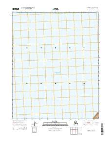
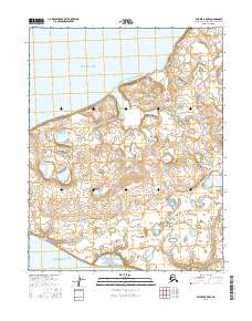
2014 Map of Selawik B-6 SE
USGS Topo · Published 2014About this map
Eschscholtz Bay dominates this coastal landscape in the Northwest Arctic borough of Alaska. This 2014 survey focuses on a remote section of the coastline where the water of the bay meets a terrain defined by the Public Land Survey System grids of t11n r14w, t11n r13w, t10n r14w, and t10n r13w. The map reflects a modern geodetic record of this subarctic region, where the minimal infrastructure and absence of named settlements emphasize the natural character of the Alaskan shoreline. Researchers and cartographers can examine the precise tidal boundaries and section lines as they existed during this early 21st-century documentation of the Selawik B-6 SE quadrangle.
Find a feature on this map
5 named features on this map. Tap any name to fly to it.
Don’t see what you’re looking for? This feature index may not catch every label — zoom into the map to look around manually.
Map Details
Editions of this 2014 Selawik B-6 SE Map
This is the sole edition of this map. No revisions or reprints were ever made.
Other maps of this area

1951 · Selawik
USGS Topo · 1:250,000

1951 · Selawik B-6
USGS Topo · 1:63,360

1951 · Selawik A-5
USGS Topo · 1:63,360

1951 · Selawik B-5
USGS Topo · 1:63,360

1951 · Selawik A-6
USGS Topo · 1:63,360

1957 · Selawik
USGS Topo · 1:250,000
2014 · Selawik A-5 NW
USGS Topo · 1:25,000
2014 · Selawik A-6 NE
USGS Topo · 1:25,000
2014 · Selawik A-6 NW
USGS Topo · 1:25,000
2016 · Selawik B-5 NW
USGS Topo · 1:25,000