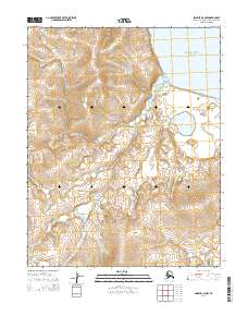
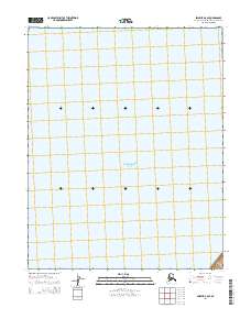
2014 Map of Selawik A-5 NW
USGS Topo · Published 2014About this map
Eschscholtz Bay defines the northeastern edge of this coastal landscape within the Northwest Arctic Borough. The terrain is characterized by a complex network of wetlands and drainage patterns, most notably the meandering course of Dick Slough as it winds toward the coast. This 2014 survey by the U.S. Geological Survey illustrates the intersection of several public land survey divisions, including t10n r13w and t9n r12w. The map provides a precise view of the tundra and coastal hydrologic features before the subtle shifts of the Arctic shoreline, capturing the intricate contours of the low-lying coastal plain where land meets the bay.
Find a feature on this map
8 named features on this map. Tap any name to fly to it.
Don’t see what you’re looking for? This feature index may not catch every label — zoom into the map to look around manually.
Map Details
Editions of this 2014 Selawik A-5 NW Map
This is the sole edition of this map. No revisions or reprints were ever made.
Other maps of this area

1951 · Selawik
USGS Topo · 1:250,000

1951 · Selawik B-6
USGS Topo · 1:63,360

1951 · Selawik A-5
USGS Topo · 1:63,360

1951 · Selawik B-5
USGS Topo · 1:63,360

1951 · Selawik A-6
USGS Topo · 1:63,360

1957 · Selawik
USGS Topo · 1:250,000
2014 · Selawik A-5 NE
USGS Topo · 1:25,000
2014 · Selawik A-5 SW
USGS Topo · 1:25,000
2014 · Selawik A-6 SE
USGS Topo · 1:25,000
2014 · Selawik B-6 SE
USGS Topo · 1:25,000