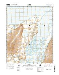
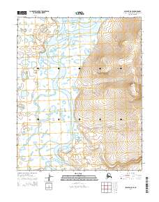
2014 Map of Selawik A-5 NE
USGS Topo · Published 2014About this map
Eschscholtz Bay defines the northern reaches of this coastal Alaskan landscape, where the tides of the Chukchi Sea meet the shoreline at Igloo Point. The geography here is dominated by the intricate wetlands and drainage patterns of the Buckland River, which meanders through the eastern portion of the quadrangle. This 2014 survey by the U.S. Geological Survey illustrates the transition from the marine environment of the bay to the low-lying tundra and riverine systems of the Northwest Arctic Borough. The lack of established roads or permanent settlements within these boundaries underscores the isolation of the region, where the landscape is shaped primarily by natural hydrographic features and topographic relief rather than human infrastructure.
Find a feature on this map
9 named features on this map. Tap any name to fly to it.
Don’t see what you’re looking for? This feature index may not catch every label — zoom into the map to look around manually.
Map Details
Editions of this 2014 Selawik A-5 NE Map
This is the sole edition of this map. No revisions or reprints were ever made.
Other maps of this area

1951 · Selawik
USGS Topo · 1:250,000

1951 · Selawik A-5
USGS Topo · 1:63,360

1951 · Selawik B-5
USGS Topo · 1:63,360

1955 · Selawik A-4
USGS Topo · 1:63,360

1955 · Selawik B-4
USGS Topo · 1:63,360

1957 · Selawik
USGS Topo · 1:250,000
2014 · Selawik A-4 SW
USGS Topo · 1:25,000
2014 · Selawik A-5 SW
USGS Topo · 1:25,000
2014 · Selawik A-4 NW
USGS Topo · 1:25,000
2014 · Selawik A-5 SE
USGS Topo · 1:25,000