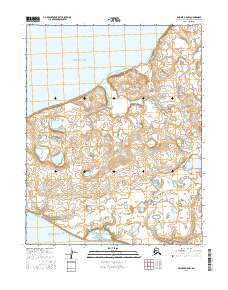
2016 Map of Selawik B-5 NW
USGS Topo · Published 2016About this map
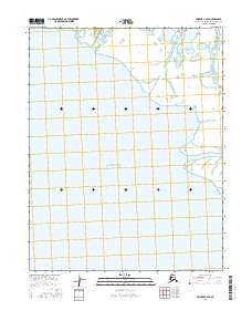
Baldwin Peninsula dominates this coastal landscape in the Northwest Arctic, situated between two significant bodies of arctic water. The northern coastline fronts Hotham Inlet, while the southern shore meets the waters of Eschscholtz Bay. This 2016 survey illustrates a terrain defined by complex hydrography, where the peninsula is saturated with numerous small lakes and ponds characteristic of the region's permafrost-influenced geography. The map provides a high-resolution look at the natural contours of the peninsula as it stood in the early 21st century, prior to further shifts in the arctic coastline. Without settlements or roads, the sheet serves as a primary reference for the physical geography and township boundaries of this remote stretch of the Alaska coast.
Find a feature on this map
9 named features on this map. Tap any name to fly to it.
Don’t see what you’re looking for? This feature index may not catch every label — zoom into the map to look around manually.
Map Details
Editions of this 2016 Selawik B-5 NW Map
This is the sole edition of this map. No revisions or reprints were ever made.
Other maps of this area

1951 · Selawik
USGS Topo · 1:250,000

1951 · Selawik C-6
USGS Topo · 1:63,360

1951 · Selawik B-6
USGS Topo · 1:63,360

1951 · Selawik B-5
USGS Topo · 1:63,360

1955 · Selawik C-5
USGS Topo · 1:63,360

1957 · Selawik
USGS Topo · 1:250,000
2014 · Selawik B-6 SE
USGS Topo · 1:25,000
2016 · Selawik B-5 NE
USGS Topo · 1:25,000
2016 · Selawik B-5 SE
USGS Topo · 1:25,000
2016 · Selawik C-6 SE
USGS Topo · 1:25,000