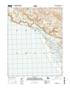
2016 Map of Selawik B-5 SE
USGS Topo · Published 2016About this map
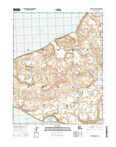
Eschscholtz Bay defines the southern half of this 2016 survey, where the saltwater of the Kotzebue Sound reaches into the Alaskan interior. The landscape transition from the open bay to the tidal wetlands is marked by the winding course of the Kauk River, which enters the bay from the east. This coastal environment is characterized by a high density of small thermokarst lakes and ponds across the northern tundra, illustrating the complex drainage patterns of the Northwest Arctic. The map also delineates the jurisdictional boundaries of Township 11 North, Range 12 West and its surrounding sectors, providing a precise spatial framework for the coastal land north of the bay and the river's delta.
Find a feature on this map
6 named features on this map. Tap any name to fly to it.
Don’t see what you’re looking for? This feature index may not catch every label — zoom into the map to look around manually.
Map Details
Editions of this 2016 Selawik B-5 SE Map
This is the sole edition of this map. No revisions or reprints were ever made.
Other maps of this area

1951 · Selawik
USGS Topo · 1:250,000

1951 · Selawik A-5
USGS Topo · 1:63,360

1951 · Selawik B-5
USGS Topo · 1:63,360

1955 · Selawik A-4
USGS Topo · 1:63,360

1955 · Selawik B-4
USGS Topo · 1:63,360

1957 · Selawik
USGS Topo · 1:250,000
2014 · Selawik A-5 NE
USGS Topo · 1:25,000
2014 · Selawik A-4 NW
USGS Topo · 1:25,000
2014 · Selawik A-5 NW
USGS Topo · 1:25,000
2016 · Selawik B-5 NW
USGS Topo · 1:25,000