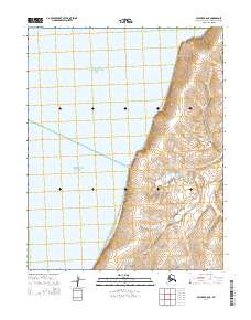
2014 Map of Selawik A-6 NE
USGS Topo · Published 2014About this map
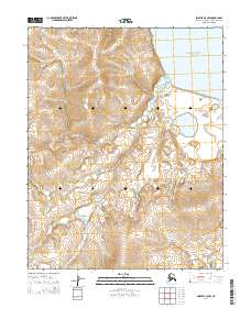
Eschscholtz Bay and the eastern reaches of Kotzebue Sound meet the coastline in this 2014 topographic study of the Northwest Arctic. The landscape is defined by the dramatic interface between the tidal waters and the rising terrain of the Baldwin Peninsula. A notable landmark along this coast is Church Rock, which stands as a distinct topographical marker for navigators and locals alike. Inland, the hydrology is characterized by the meandering path of Dick Slough, which winds through the lower elevations of the eastern sections. The map provides a clear look at the township and range divisions, such as t9n r14w and t10n r13w, showing the sparse but organized grid of this subarctic coastal region.
Find a feature on this map
10 named features on this map. Tap any name to fly to it.
Don’t see what you’re looking for? This feature index may not catch every label — zoom into the map to look around manually.
Map Details
Editions of this 2014 Selawik A-6 NE Map
This is the sole edition of this map. No revisions or reprints were ever made.
Other maps of this area

1951 · Selawik
USGS Topo · 1:250,000

1951 · Selawik B-6
USGS Topo · 1:63,360

1951 · Selawik A-5
USGS Topo · 1:63,360

1951 · Selawik B-5
USGS Topo · 1:63,360

1951 · Selawik A-6
USGS Topo · 1:63,360

1957 · Selawik
USGS Topo · 1:250,000
2014 · Selawik A-5 SW
USGS Topo · 1:25,000
2014 · Selawik A-6 SE
USGS Topo · 1:25,000
2014 · Selawik B-6 SE
USGS Topo · 1:25,000
2014 · Selawik A-5 NW
USGS Topo · 1:25,000