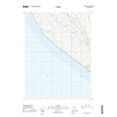
2018 Map of Seldovia C-5 NW
USGS Topo · Published 2018About this map
The Anchor River and its various tributaries define the coastal landscape of the Kenai Peninsula in this modern topographical survey. Settlement patterns follow the corridor of the Sterling Highway, with local access provided by a network of smaller routes such as Luke Road and Vince Road. The coastline is marked by distinct geographical depressions, notably Mutnaia Gulch and Diamond Gulch, where smaller drainages like Troublesome Cr and Diamond Cr meet the Pacific Ocean. Inland, the terrain is characterized by numerous small wetlands and water bodies, including Lilly Lake, situated between the highway and the river's north fork. The map details the transition from high-ground residential drives like Tulin Ocean View Drive to the undeveloped stretches along Travers Cr.
Find a feature on this map
25 named features on this map. Tap any name to fly to it.
Don’t see what you’re looking for? This feature index may not catch every label — zoom into the map to look around manually.
Map Details
Editions of this 2018 Seldovia C-5 NW Map
This is the sole edition of this map. No revisions or reprints were ever made.
Other maps of this area

1946 · Seldovia C-5
USGS Topo · 1:63,360

1946 · Seldovia D-5
USGS Topo · 1:63,360

1951 · Seldovia C-5
USGS Topo · 1:63,360

1951 · Seldovia D-5
USGS Topo · 1:63,360

1951 · Seldovia
USGS Topo · 1:250,000

1961 · Seldovia C-5
USGS Topo · 1:63,360
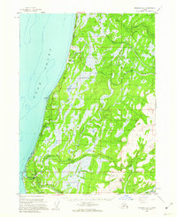
1961 · Seldovia D-5
USGS Topo · 1:63,360

1963 · Seldovia
USGS Topo · 1:250,000
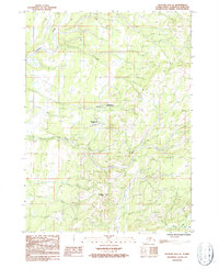
1987 · Seldovia D-5 SE
USGS Topo · 1:25,000
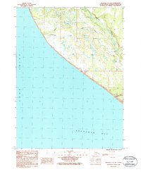
1987 · Seldovia C-5 NW
USGS Topo · 1:25,000