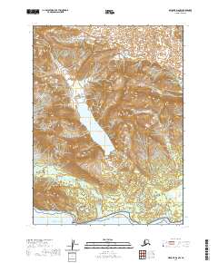
2020 Map of Seldovia D-8 NW
USGS Topo · Published 2020About this map
Lake Clark National Park preserves a vast coastal and mountain wilderness where the freshwater drainage systems of Hickerson Lake and Blue Lake meet the salt waters of Cook Inlet. This terrain is defined by dramatic glacial activity, evidenced by the presence of the Red Glacier and the braided outflows of East Glacier Creek. The map documents the intricate hydrography of the Kenai Peninsula shoreline, tracing several significant watercourses including Squirrel Cr and Shelter Cr as they descend toward the Pacific Ocean. High-elevation features like the Spring Lakes and Boulder Cr illustrate the steep transition from alpine environments to the tidal flats of the inlet, providing a detailed record of this protected landscape’s natural drainage patterns and ice-carved topography.
Find a feature on this map
16 named features on this map. Tap any name to fly to it.
Don’t see what you’re looking for? This feature index may not catch every label — zoom into the map to look around manually.
Map Details
Editions of this 2020 Seldovia D-8 NW Map
This is the sole edition of this map. No revisions or reprints were ever made.
Other maps of this area

1944 · Kenai
USGS Topo · 1:250,000

1946 · Lake Clark
USGS Topo · 1:250,000

1950 · Kenai
USGS Topo · 1:250,000

1951 · Lake Clark
USGS Topo · 1:250,000

1951 · Seldovia
USGS Topo · 1:250,000

1952 · Iliamna
USGS Topo · 1:250,000

1957 · Iliamna
USGS Topo · 1:250,000

1958 · Iliamna D-1
USGS Topo · 1:63,360
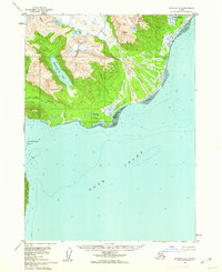
1958 · Seldovia D-8
USGS Topo · 1:63,360

1958 · Lake Clark A-1
USGS Topo · 1:63,360