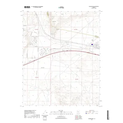
2018 Map of Seligman West
USGS Topo · Published 2018About this map
The high plateau landscape of Yavapai County is dominated here by the steep descent of the Aubrey Cliff into the Aubrey Valley. The area shows a clear transition from the rugged highlands near Red Mesa and Chino Point to the flatter drainage basins of the Big Chino Wash. A dense network of local residential roads, including names like Bridge Canyon Pkwy and Saddle Rock Rd, suggests a pattern of modern rural subdivision west of the main settlement.
Find a feature on this map
50 named features on this map. Tap any name to fly to it.
Don’t see what you’re looking for? This feature index may not catch every label — zoom into the map to look around manually.
Map Details
Editions of this 2018 Seligman West Map
This is the sole edition of this map. No revisions or reprints were ever made.
Other maps of this area

1886 · Diamond Creek
USGS Topo · 1:250,000

1886 · Chino
USGS Topo · 1:250,000

1891 · Chino
USGS Topo · 1:250,000

1892 · Diamond Creek
USGS Topo · 1:250,000

1947 · Turkey Canyon
USGS Topo · 1:62,500

1948 · Williams
USGS Topo · 1:250,000

1950 · Turkey Canyon
USGS Topo · 1:62,500

1954 · Williams
USGS Topo · 1:250,000

1956 · Williams
USGS Topo · 1:250,000

1960 · Williams
USGS Topo · 1:250,000