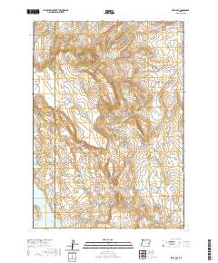
2020 Map of Selle Gap
USGS Topo · Published 2020About this map
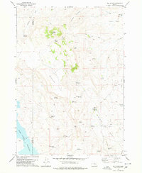
The Harney and Malheur county line bisects this high desert landscape, dominated by a complex network of water management features essential for life in the arid Oregon interior. The northern reaches of the Warm Springs Reservoir occupy the southwest corner, while the interior is dotted with a series of smaller impoundments and named water sources like Williams Charco and the Selle Gap Reservoir. The terrain is defined by basaltic features and deep gulches, most notably Selle Gap and its smaller counterpart, Little Selle Gap. High points such as Black Butte and Twin Knolls provide orientation across the sagebrush-covered flats. The presence of numerous developed springs, including Shovel Spring, Mud Spring, and Trail Spring, highlights the historical and ongoing importance of reliable water for livestock and local land use. Transport through this territory relies on the north-south corridor of Juntura-Riverside Rd, which connects these remote basins.
Find a feature on this map
40 named features on this map. Tap any name to fly to it.
Don’t see what you’re looking for? This feature index may not catch every label — zoom into the map to look around manually.
Map Details
Editions of this 2020 Selle Gap Map
This is the sole edition of this map. No revisions or reprints were ever made.
Other maps of this area

1955 · Burns
USGS Topo · 1:250,000

1958 · Burns
USGS Topo · 1:250,000

1959 · Burns
USGS Topo · 1:250,000

1966 · Beulah
USGS Topo · 1:62,500

1968 · Drewsey
USGS Topo · 1:62,500
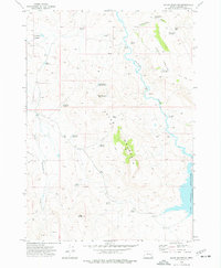
1973 · Upton Mountain
USGS Topo · 1:24,000
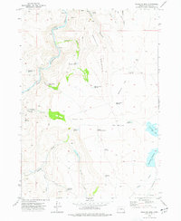
1973 · Mosquito Mtn
USGS Topo · 1:24,000
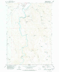
1978 · Juntura
USGS Topo · 1:24,000
1978 · Selle Gap
USGS Topo · 1:24,000

1978 · Stinkingwater Mountains
USGS Topo · 1:100,000