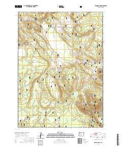
2020 Map of Sellers Marsh
USGS Topo · Published 2020About this map
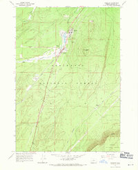
Winema National Forest encompasses this high-elevation landscape in Klamath County, characterized by a complex network of seasonal wetlands and alpine meadows. The northern portion of the quadrangle is dominated by the sprawling Sellers Marsh, which is fed by Sellers Cr. This hydrology creates a unique environment where moisture-dependent features like Round Meadow and Meadow Spring contrast with drier volcanic terrain.
Find a feature on this map
19 named features on this map. Tap any name to fly to it.
Don’t see what you’re looking for? This feature index may not catch every label — zoom into the map to look around manually.
Map Details
Editions of this 2020 Sellers Marsh Map
This is the sole edition of this map. No revisions or reprints were ever made.
Other maps of this area

1935 · Chemult
USGS Topo · 1:96,000

1941 · Chemult
USGS Topo · 1:125,000

1955 · Crescent
USGS Topo · 1:250,000

1957 · Crescent
USGS Topo · 1:250,000

1958 · Crescent
USGS Topo · 1:250,000
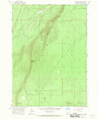
1967 · Walker Mtn
USGS Topo · 1:24,000
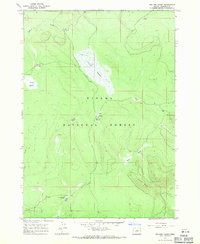
1967 · Sellers Marsh
USGS Topo · 1:24,000
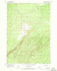
1967 · Crescent NE
USGS Topo · 1:24,000
1967 · Crescent
USGS Topo · 1:24,000

1968 · Location Butte
USGS Topo · 1:24,000