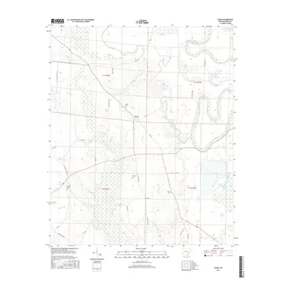
2017 Map of Selma
USGS Topo · Published 2017About this map
Selma sits at the heart of this landscape in Drew County, where the transition from higher ground into the complex wetland networks of the Mississippi Delta is clearly visible. The eastern portion of the sheet is dominated by the meandering Bayou Bartholomew, accompanied by numerous oxbow features and wetland depressions such as Horseshoe Brake, Mink Track Brake, and Jerden Brake. These backwater areas illustrate the natural hydrological history of the region before modern drainage patterns.
Find a feature on this map
50 named features on this map. Tap any name to fly to it.
Don’t see what you’re looking for? This feature index may not catch every label — zoom into the map to look around manually.
Map Details
Editions of this 2017 Selma Map
This is the sole edition of this map. No revisions or reprints were ever made.
Other maps of this area

1935 · Cominto
USGS Topo · 1:62,500

1935 · Rotan
USGS Topo · 1:62,500

1935 · Red Fork
USGS Topo · 1:62,500

1936 · McGehee
USGS Topo · 1:62,500

1937 · McGehee
USGS Topo · 1:62,500

1953 · Greenwood
USGS Topo · 1:250,000

1955 · McGehee
USGS Topo · 1:62,500

1956 · Greenwood
USGS Topo · 1:250,000

1960 · Selma
USGS Topo · 1:24,000

1960 · Collins NW
USGS Topo · 1:24,000