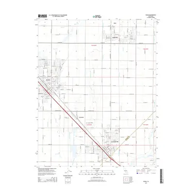
2015 Map of Selma
USGS Topo · Published 2015About this map
Selma and Kingsburg anchor this segment of the San Joaquin Valley, where the agricultural landscape is defined by an intricate network of irrigation and drainage infrastructure. Water management is central to the area's development, evidenced by features like the Selma Colony Ditch, Ward Drainage Canal, and Santa Fe Canal that crisscross the terrain between the Kings River and the various municipal centers. The map documents the close proximity of several farming communities, including Parlier, Wineland, and Miley.
Find a feature on this map
83 named features on this map. Tap any name to fly to it.
Don’t see what you’re looking for? This feature index may not catch every label — zoom into the map to look around manually.
Map Details
Editions of this 2015 Selma Map
This is the sole edition of this map. No revisions or reprints were ever made.
Other maps of this area

1922 · Trimmer
USGS Topo · 1:96,000

1923 · Malaga
USGS Topo · 1:31,680

1923 · Wahtoke
USGS Topo · 1:31,680

1923 · Sanger
USGS Topo · 1:31,680

1924 · Reedley
USGS Topo · 1:31,680

1924 · Selma
USGS Topo · 1:31,680

1924 · Conejo
USGS Topo · 1:31,680

1924 · Dinuba
USGS Topo · 1:125,000

1926 · Burris Park
USGS Topo · 1:31,680

1927 · Traver
USGS Topo · 1:31,680