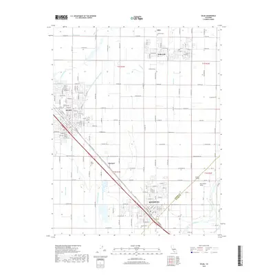
2018 Map of Selma
USGS Topo · Published 2018About this map
The San Joaquin Valley landscape documented here is defined by a dense network of irrigation infrastructure essential to Fresno County agriculture. Major settlements including Selma, Kingsburg, and Parlier are connected by the prominent diagonal of Golden State Blvd, tracing the historical transportation corridor through the heart of the valley. This 2018 survey reveals how water management shapes the land, with features like the Centerville and Kingsburg Canal, Selma Colony Ditch, and Cole Slough Canal distributing water from the Kings River. Genealogists will find several notable burial grounds, including Odd Fellows Cem and Floral Memorial Cem. The map also captures smaller communities and locales such as Wineland, Miley, and Central Valley, positioned amidst a grid of rural avenues and orchards typical of this productive region.
Find a feature on this map
63 named features on this map. Tap any name to fly to it.
Don’t see what you’re looking for? This feature index may not catch every label — zoom into the map to look around manually.
Map Details
Editions of this 2018 Selma Map
This is the sole edition of this map. No revisions or reprints were ever made.
Other maps of this area

1922 · Trimmer
USGS Topo · 1:96,000

1923 · Malaga
USGS Topo · 1:31,680

1923 · Wahtoke
USGS Topo · 1:31,680

1923 · Sanger
USGS Topo · 1:31,680

1924 · Reedley
USGS Topo · 1:31,680

1924 · Selma
USGS Topo · 1:31,680

1924 · Conejo
USGS Topo · 1:31,680

1924 · Dinuba
USGS Topo · 1:125,000

1926 · Burris Park
USGS Topo · 1:31,680

1927 · Traver
USGS Topo · 1:31,680