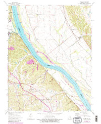
1964 Map of Selma
USGS Topo · Published 1982About this map
The Mississippi River corridor south of Crystal City serves as the focal point for this 1960s study, revised in the early 1980s. The landscape is defined by the sharp contrast between the industrial activity and rail lines along the western bluffs and the shifting alluvial islands like Calico Island and Harlow Island. A heavy transport network supports the local economy, including the St Louis-San Francisco and Burlington Northern railroads. On the Missouri side, educational and religious life is anchored by the Jefferson R-7 Sch, Selma Sch, and the St Joseph Ursuline Novitiate. Small Illinois settlements such as Mitchie and Maeys (Maeystown Sta) appear across the river, connected to the hinterlands by rural roads and creeks like Maeystown Creek. Extensive hollows, including Cliffdale Hollow and Doolin Hollow, reveal the complex drainage patterns feeding into Plattin Creek.
Find a feature on this map
47 named features on this map. Tap any name to fly to it.
Don’t see what you’re looking for? This feature index may not catch every label — zoom into the map to look around manually.
Map Details
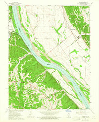
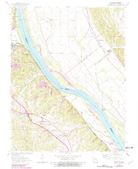
Editions of this 1964 Selma Map
3 editions found
Other maps of this area

1910 · Waterloo
USGS Topo · 1:62,500

1912 · Kimmswick
USGS Topo · 1:62,500

1913 · Waterloo
USGS Topo · 1:62,500

1915 · Renault
USGS Topo · 1:62,500

1915 · Crystal City
USGS Topo · 1:62,500

1916 · Kimmswick
USGS Topo · 1:62,500

1940 · Renault
USGS Topo · 1:62,500

1948 · Kimmswick
USGS Topo · 1:62,500

1949 · Saint Louis
USGS Topo · 1:250,000

1949 · Crystal City
USGS Topo · 1:62,500