
1964 Map of Selma
USGS Topo · Published 1965About this map
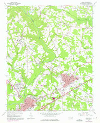
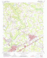
The Neuse River winds through the heart of Johnston County in this mid-1960s survey, anchoring a landscape defined by its strategic rail junctions and agricultural heritage. The towns of Smithfield and Selma appear as significant hubs, where the Southern and Atlantic Coast Line railroads intersect, driving the local economy. Genealogists will find a wealth of family-named landmarks and resting places, including the Richardson Cem, Vause Cem, and Price Cem, alongside community centers like the County Training Sch and Holy Temple Ch. The transition from rural to town life is evident in the inclusion of modern landmarks such as the Myrtle Airport, a Drive-in Theater, and the Radio Tower (WMPM). Beyond the residential areas, the map details the industrial and public infrastructure of the era, from numerous Gravel Pits to the Prison Unit 4043 and the Pumping Station.
Find a feature on this map
82 named features on this map. Tap any name to fly to it.
Don’t see what you’re looking for? This feature index may not catch every label — zoom into the map to look around manually.
Map Details
Editions of this 1964 Selma Map
3 editions found
Other maps of this area

1902 · Kenly
USGS Topo · 1:62,500

1903 · Kenly
USGS Topo · 1:62,500

1906 · Four Oaks
USGS Topo · 1:48,000

1908 · Four Oaks
USGS Topo · 1:62,500

1953 · Raleigh
USGS Topo · 1:250,000

1954 · Raleigh
USGS Topo · 1:250,000

1964 · Flowers
USGS Topo · 1:24,000

1964 · Selma
USGS Topo · 1:62,500

1964 · Clayton
USGS Topo · 1:24,000

1964 · Powhatan
USGS Topo · 1:24,000