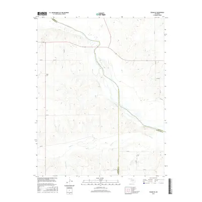
2016 Map of Selman SE
USGS Topo · Published 2016About this map
The Cimarron River cuts a wide, braided path through this northwestern Oklahoma landscape, marking the convergence of Woodward, Harper, and Woods counties. The river corridor is flanked by a complex drainage network, including Buffalo Cr and Sleeping Bear Cr, which define the undulating topography of the surrounding ranching and agricultural land. This 2016 survey documents the rural infrastructure of the region, anchored by the long-standing Spring Valley Cem in the west and Nixon Cem to the southeast. These burial grounds serve as primary genealogical touchstones for the area's pioneer history.
Find a feature on this map
26 named features on this map. Tap any name to fly to it.
Don’t see what you’re looking for? This feature index may not catch every label — zoom into the map to look around manually.
Map Details
Editions of this 2016 Selman SE Map
This is the sole edition of this map. No revisions or reprints were ever made.
Other maps of this area

1955 · Woodward
USGS Topo · 1:250,000

1958 · Woodward
USGS Topo · 1:250,000

1970 · Alabaster Caverns
USGS Topo · 1:24,000

1970 · Lookout
USGS Topo · 1:24,000

1970 · Freedom NW
USGS Topo · 1:24,000

1970 · Edith
USGS Topo · 1:24,000

1970 · Selman NW
USGS Topo · 1:24,000

1970 · Sleeping Bear Creek NW
USGS Topo · 1:24,000

1971 · Selman SE
USGS Topo · 1:24,000

1971 · Selman
USGS Topo · 1:24,000