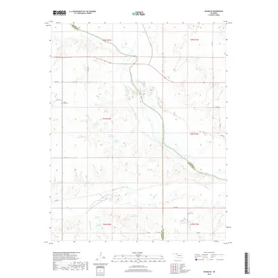
2018 Map of Selman SE
USGS Topo · Published 2018About this map
The Cimarron River winds through this northwestern Oklahoma landscape, carving a wide path across the boundaries of Woodward, Harper, and Woods Counties. This 2018 survey documents a region defined by its water management and rural landmarks, featuring numerous numbered impoundments such as 05912 Reservoir, 05914 Reservoir, and 059060 Reservoir. These water bodies are fed by a network of drainage systems including Keno Cr, Buffalo Cr, and Sleeping Bear Cr. Local history is anchored by the presence of Spring Valley Cem in the northwest and Nixon Cem to the southeast, providing valuable points of reference for genealogists. The map also delineates a grid of section lines and rural roads, such as Jackson Rd and NS 206 Rd, which facilitate movement through this high plains ranching and agricultural terrain.
Find a feature on this map
36 named features on this map. Tap any name to fly to it.
Don’t see what you’re looking for? This feature index may not catch every label — zoom into the map to look around manually.
Map Details
Editions of this 2018 Selman SE Map
This is the sole edition of this map. No revisions or reprints were ever made.
Other maps of this area

1955 · Woodward
USGS Topo · 1:250,000

1958 · Woodward
USGS Topo · 1:250,000

1970 · Alabaster Caverns
USGS Topo · 1:24,000

1970 · Lookout
USGS Topo · 1:24,000

1970 · Freedom NW
USGS Topo · 1:24,000

1970 · Edith
USGS Topo · 1:24,000

1970 · Selman NW
USGS Topo · 1:24,000

1970 · Sleeping Bear Creek NW
USGS Topo · 1:24,000

1971 · Selman SE
USGS Topo · 1:24,000

1971 · Selman
USGS Topo · 1:24,000