
1951 Map of Selz NE
USGS Topo · Published 1952About this map
The North Fork Sheyenne River carves a distinct valley through the prairie of Central North Dakota, defining the boundary between the townships of Alexander and Rich Valley. This 1951 survey records a rural landscape of section-line roads and widely spaced homesteads, many of which are anchored by a local schoolhouse. Education was decentralized at this time, evidenced by the distribution of Strasburg Sch No 3, Strasburg Sch No 2, Odessa Sch No 2, and North Fork Sch No 1 across the townships.
Find a feature on this map
14 named features on this map. Tap any name to fly to it.
Don’t see what you’re looking for? This feature index may not catch every label — zoom into the map to look around manually.
Map Details
Editions of this 1951 Selz NE Map
This is the sole edition of this map. No revisions or reprints were ever made.
Other maps of this area

1941 · Selz
USGS Topo · 1:62,500

1943 · Maddock
USGS Topo · 1:62,500

1945 · Maddock
USGS Topo · 1:62,500

1950 · Wellsburg
USGS Topo · 1:24,000
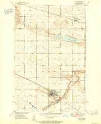
1951 · Harvey
USGS Topo · 1:24,000

1951 · Selz NW
USGS Topo · 1:24,000
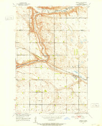
1951 · Heimdal
USGS Topo · 1:24,000

1951 · Hesper
USGS Topo · 1:24,000

1952 · New Rockford
USGS Topo · 1:250,000

1953 · Devils Lake
USGS Topo · 1:250,000