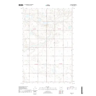
2017 Map of Selz NW
USGS Topo · Published 2017About this map
N Fork Sheyenne River meanders through the heart of this Pierce County landscape, defining the hydrology of a region characterized by numerous glacial potholes and wetlands. The terrain is marked by the presence of Sandy Lakes in the northern section, surrounded by a grid of rural section roads that follow the Public Land Survey System. These corridors, such as 30th Ave NE and 40th St NE, outline the agricultural divisions of the prairie. A primary site for genealogical interest is the Odessa Cem, located along 31st Ave NE. This 2017 survey reflects the persistent rural character of the North Dakota plains, where small cemeteries and named water bodies remain the primary landmarks amidst a network of farm-to-market roads and township boundaries like t152n r73w.
Find a feature on this map
23 named features on this map. Tap any name to fly to it.
Don’t see what you’re looking for? This feature index may not catch every label — zoom into the map to look around manually.
Map Details
Editions of this 2017 Selz NW Map
This is the sole edition of this map. No revisions or reprints were ever made.
Other maps of this area

1940 · Aylmer
USGS Topo · 1:62,500

1941 · Selz
USGS Topo · 1:62,500

1950 · Wellsburg
USGS Topo · 1:24,000
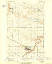
1951 · Harvey
USGS Topo · 1:24,000

1951 · Martin
USGS Topo · 1:24,000

1951 · Selz NE
USGS Topo · 1:24,000

1951 · Selz NW
USGS Topo · 1:24,000

1952 · New Rockford
USGS Topo · 1:250,000

1953 · Devils Lake
USGS Topo · 1:250,000

1954 · Minot
USGS Topo · 1:250,000