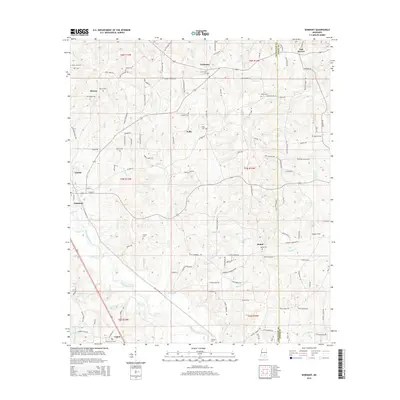
2015 Map of Seminary
USGS Topo · Published 2015About this map
Okatoma Creek winds through the heart of this Covington County landscape, punctuated by the localized drop of Seminary Falls. The town of Seminary serves as a central hub, surrounded by smaller rural settlements like Eminence, Kelly, and Bethel. This area is heavily marked by its local heritage, with numerous family-named cemeteries such as Williamson Cem, Speed Cem, and Lebanon Cem distributed among the headwaters of Manasco Br and Curry Cr. To the east, the landscape transitions into Morgan Field and the edges of Jones County. The intricate web of local roads, from Frank Speed Rd to Myron Stringer Rd, reflects a long-established pattern of rural homesteads and timber-related topography. The convergence of numerous branches, including Wolfpen Br and Gills Br, into the main creek channel highlights the importance of the local drainage system to the development of these Mississippi communities.
Find a feature on this map
134 named features on this map. Tap any name to fly to it.
Don’t see what you’re looking for? This feature index may not catch every label — zoom into the map to look around manually.
Map Details
Editions of this 2015 Seminary Map
This is the sole edition of this map. No revisions or reprints were ever made.
Other maps of this area

1953 · Hattiesburg
USGS Topo · 1:250,000

1958 · Hattiesburg
USGS Topo · 1:250,000

1964 · Seminary
USGS Topo · 1:24,000

1965 · Hebron
USGS Topo · 1:24,000

1965 · Eastabuchie
USGS Topo · 1:24,000

1965 · Hot Coffee
USGS Topo · 1:24,000

1965 · Moselle
USGS Topo · 1:24,000

1965 · Sanford
USGS Topo · 1:24,000

1974 · Sumrall
USGS Topo · 1:24,000

1974 · Williamsburg
USGS Topo · 1:24,000