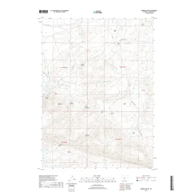
2017 Map of Seminoe Dam NE
USGS Topo · Published 2017About this map
Seminoe Mountains dominate the southern portion of this high-desert landscape in Carbon County, where complex drainage systems like Number One Gulch and Hurt Gulch carve through the arid terrain. The North Platte River flows through the western edge, cutting through the dramatic Seminoe Canyon and Cow Canyon. This 2017 survey reveals a region defined by its vital water sources, from the isolated House Gulch Reservoir to a series of named desert seeps including Willow Springs, Wildcat Springs, and Threemile Spring. Primitive roads such as Kortes Rd and Leo Shirley Basin Rd provide the primary access through this sparsely populated expanse of public and private lands, connecting landmarks like Bunker Hill and the deep recesses of Deadman Canyon.
Find a feature on this map
39 named features on this map. Tap any name to fly to it.
Don’t see what you’re looking for? This feature index may not catch every label — zoom into the map to look around manually.
Map Details
Editions of this 2017 Seminoe Dam NE Map
This is the sole edition of this map. No revisions or reprints were ever made.
Other maps of this area

1953 · Leo
USGS Topo · 1:24,000

1953 · Seminoe Dam NE
USGS Topo · 1:24,000

1953 · Seminoe Dam
USGS Topo · 1:24,000

1953 · Seminoe Dam SW
USGS Topo · 1:24,000

1953 · Pathfinder Reservoir SW
USGS Topo · 1:24,000

1953 · Seminoe Dam SE
USGS Topo · 1:24,000

1953 · Fourmile Ridge
USGS Topo · 1:24,000

1953 · Schneider Ridge
USGS Topo · 1:24,000

1953 · Beaver Creek
USGS Topo · 1:24,000

1955 · Casper
USGS Topo · 1:250,000