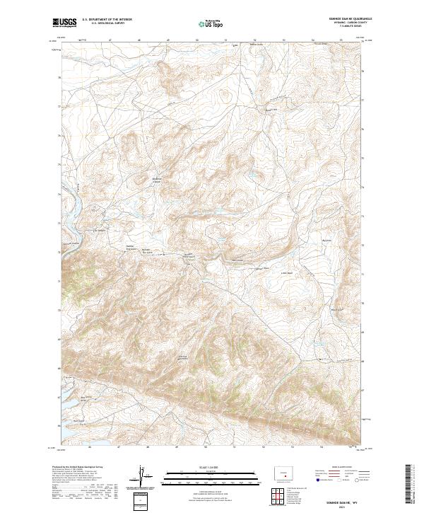
2021 Map of Seminoe Dam NE
USGS Topo · Published 2021About this map
The settlement of Leo sits in the northern reaches of this Carbon County landscape, positioned near the drainage of Sage Creek. This high-desert terrain is defined by the massive uplift of the Seminoe Mountains, which dominate the southern half of the map. Water is the primary driver of names and activity here, with numerous vital points such as Indian Spring, Willow Springs, and Wildcat Springs dotting the drainages between prominent ridges like Bunker Hill.
Find a feature on this map
40 named features on this map. Tap any name to fly to it.
Don’t see what you’re looking for? This feature index may not catch every label — zoom into the map to look around manually.
Map Details
Editions of this 2021 Seminoe Dam NE Map
This is the sole edition of this map. No revisions or reprints were ever made.
Other maps of this area

1953 · Leo
USGS Topo · 1:24,000

1953 · Seminoe Dam NE
USGS Topo · 1:24,000

1953 · Seminoe Dam
USGS Topo · 1:24,000

1953 · Seminoe Dam SW
USGS Topo · 1:24,000

1953 · Pathfinder Reservoir SW
USGS Topo · 1:24,000

1953 · Seminoe Dam SE
USGS Topo · 1:24,000

1953 · Fourmile Ridge
USGS Topo · 1:24,000

1953 · Schneider Ridge
USGS Topo · 1:24,000

1953 · Beaver Creek
USGS Topo · 1:24,000

1955 · Casper
USGS Topo · 1:250,000