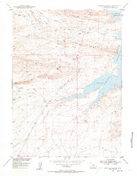
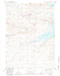
1953 Map of Seminoe Dam SW
USGS Topo · Published 1955About this map
I D Ranch and I D Camp stand as primary focal points in this mid-century portrait of Carbon County high-desert terrain. The landscape is defined by the expansion of the Seminoe Reservoir in the east, which reaches into the drainages of Hurt Creek and O'Brien Creek. Significant industrial activity is evidenced by an Oil Well (Inactive) located on Cheyenne Ridge and a nearby Airstrip. The elevation is marked by prominent landforms such as Windy Ridge and I D Ridge, while the Seminoe Road provides the main artery through the complex system of coulees and draws including Rankin Creek and Coal Creek. This survey reflects the post-war efforts of the Department of the Interior program for the development of the Missouri River Basin, documenting the intersection of water management, cattle ranching, and early energy exploration.
Find a feature on this map
19 named features on this map. Tap any name to fly to it.
Don’t see what you’re looking for? This feature index may not catch every label — zoom into the map to look around manually.
Map Details
Editions of this 1953 Seminoe Dam SW Map
3 editions found
Other maps of this area

1893 · Fort Steele
USGS Topo · 1:125,000

1914 · Walcott
USGS Topo · 1:62,500

1953 · Bradley Peak
USGS Topo · 1:24,000

1953 · Seminoe Dam NE
USGS Topo · 1:24,000

1953 · Seminoe Dam
USGS Topo · 1:24,000

1953 · Wild Horse Mountain
USGS Topo · 1:24,000

1953 · Seminoe Dam SW
USGS Topo · 1:24,000

1953 · Seminoe Dam SE
USGS Topo · 1:24,000

1953 · Lone Haystack Mountain
USGS Topo · 1:24,000

1954 · Rawlins
USGS Topo · 1:250,000