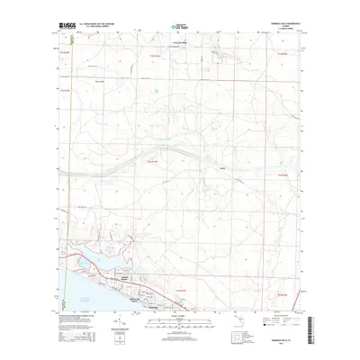
2015 Map of Seminole Hills
USGS Topo · Published 2015About this map
Laguna Beach, Hollywood Beach, and Sunnyside anchor the southern coastline of this Florida Panhandle study, where the developed shore meets the Gulf of Mexico. The landscape transitions from these established coastal communities through the low-lying Poley Islands toward the Intracoastal Waterway, which cuts east-to-west through the center of the terrain.
Find a feature on this map
50 named features on this map. Tap any name to fly to it.
Don’t see what you’re looking for? This feature index may not catch every label — zoom into the map to look around manually.
Map Details
Editions of this 2015 Seminole Hills Map
This is the sole edition of this map. No revisions or reprints were ever made.
Other maps of this area

1936 · Point Washington
USGS Topo · 1:48,000

1939 · Point Washington
USGS Topo · 1:62,500

1943 · Laguna Beach
USGS Topo · 1:31,680

1943 · Panama City Beach
USGS Topo · 1:31,680

1943 · Seminole Hills
USGS Topo · 1:24,000

1943 · West Bay
USGS Topo · 1:24,000

1944 · Seminole Hills
USGS Topo · 1:31,680

1944 · West Bay
USGS Topo · 1:31,680

1944 · Bruce
USGS Topo · 1:24,000

1945 · Red Head
USGS Topo · 1:31,680