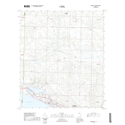
2018 Map of Seminole Hills
USGS Topo · Published 2018About this map
Panama City Beach and its western neighborhoods of Laguna Beach and Hollywood Beach line the northern shore of the Gulf of Mexico, defined by a coastal landscape of inlets and brackish lakes. The interior is a mosaic of wetlands including Doe Head Swamp and Marshall Swamp, bisected by the straight channel of the Intracoastal Waterway. To the north, the terrain transitions into the forested uplands of Seminole Hills and the small settlement of Laird. The coastal hydrology is dominated by Powell Lake, which connects to the sea at Philips Inlet on the border of Walton and Bay counties. This area shows a dense network of residential streets and recreational trails, such as the Blue Trail and Dragonfly Trail, set against the backdrop of the region's managed timberlands and waterways.
Find a feature on this map
62 named features on this map. Tap any name to fly to it.
Don’t see what you’re looking for? This feature index may not catch every label — zoom into the map to look around manually.
Map Details
Editions of this 2018 Seminole Hills Map
This is the sole edition of this map. No revisions or reprints were ever made.
Other maps of this area

1936 · Point Washington
USGS Topo · 1:48,000

1939 · Point Washington
USGS Topo · 1:62,500

1943 · Laguna Beach
USGS Topo · 1:31,680

1943 · Panama City Beach
USGS Topo · 1:31,680

1943 · Seminole Hills
USGS Topo · 1:24,000

1943 · West Bay
USGS Topo · 1:24,000

1944 · Seminole Hills
USGS Topo · 1:31,680

1944 · West Bay
USGS Topo · 1:31,680

1944 · Bruce
USGS Topo · 1:24,000

1945 · Red Head
USGS Topo · 1:31,680